Online or onsite, instructor-led live QGIS training courses demonstrate through interactive hands-on practice how to use QGIS to analyze, visualize, and manage geospatial data effectively.
QGIS training is available as "online live training" or "onsite live training". Online live training (aka "remote live training") is carried out by way of an interactive, remote desktop. Trojmiasto onsite live QGIS trainings can be carried out locally on customer premises or in NobleProg corporate training centers.
NobleProg -- Your Local Training Provider
Gdynia
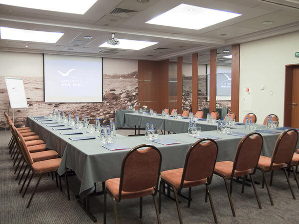
Hotel Nadmorski, Ejsmonda 2, Gdynia, Poland, 81-409
The training room is located just 3 kilometers from the PKP/PKS Station in Gdynia, making it easily accessible for participants traveling by train or bus. Additionally, it is only 400 meters away from the bus stop, facilitating access even for those using public transportation. It is equipped with necessary training tools such as a projector, screen, and flipchart, providing comfortable conditions for both participants and the trainer.
Gdańsk
Hotel Fahrenheit, Grodzka 19, Gdańsk, Poland, 80-841
The training room is located in the very heart of the picturesque Gdansk Old Town, making the surroundings not only inspiring but also exceptionally attractive for participants. Within close proximity, you can find the railway and bus stations, facilitating arrival for those traveling by both train and bus. Additionally, the airport and port are also within reach, making this location convenient for individuals coming from distant places, both domestically and internationally.
A geographic information system (GIS) is a system designed to capture, store, manipulate, analyze, manage, and present spatial or geographic data. The acronym GIS is sometimes used for geographic information science (GIScience) to refer to the academic discipline that studies geographic information systems and is a large domain within the broader academic discipline of geoinformatics.
QGIS functions as geographic information system (GIS) software, allowing users to analyze and edit spatial information, in addition to composing and exporting graphical maps. QGIS supports both raster and vector layers; vector data is stored as either point, line, or polygon features. Multiple formats of raster images are supported, and the software can georeference images. To summarize it allows the users to Create, edit, visualise, analyse and publish geospatial information on Windows, Mac, Linux, BSD.
This program, in its first phase, introduces the QGIS interface for general usage. In the second phase, we introduce PyQGIS - the python libraries of QGIS that allows the integration of GIS functionalities in your python code or your python application, so that you may even create your own Python Plugin around a particular GIS functionality.
Read more...
Last Updated:
Testimonials (1)
All the topics which he covered including examples. And also explained how they are helpful in our daily job.
Online QGIS training in Trojmiasto, QGIS training courses in Trojmiasto, Weekend QGIS courses in Trojmiasto, Evening QGIS training in Trojmiasto, QGIS instructor-led in Trojmiasto, QGIS private courses in Trojmiasto, Evening QGIS courses in Trojmiasto, QGIS instructor in Trojmiasto, QGIS boot camp in Trojmiasto, QGIS trainer in Trojmiasto, QGIS classes in Trojmiasto, QGIS instructor-led in Trojmiasto, QGIS on-site in Trojmiasto, QGIS coaching in Trojmiasto, Online QGIS training in Trojmiasto, QGIS one on one training in Trojmiasto, Weekend QGIS training in Trojmiasto